Mapping Our History
Updated: Jun 28
A section of an 1820 map of Chester County, constructed by virtue of an Act of the Legislature of Pennsylvania in March 1816:

A section of an 1847 map of Chester County that shows Sadsbury Township before the establishment of Valley Township (note that “Chandlers Store” is now Pomeroy, “Penningtonville” is now Atglen):

This section of an 1856 map of Chester County that shows Sadsbury Township:

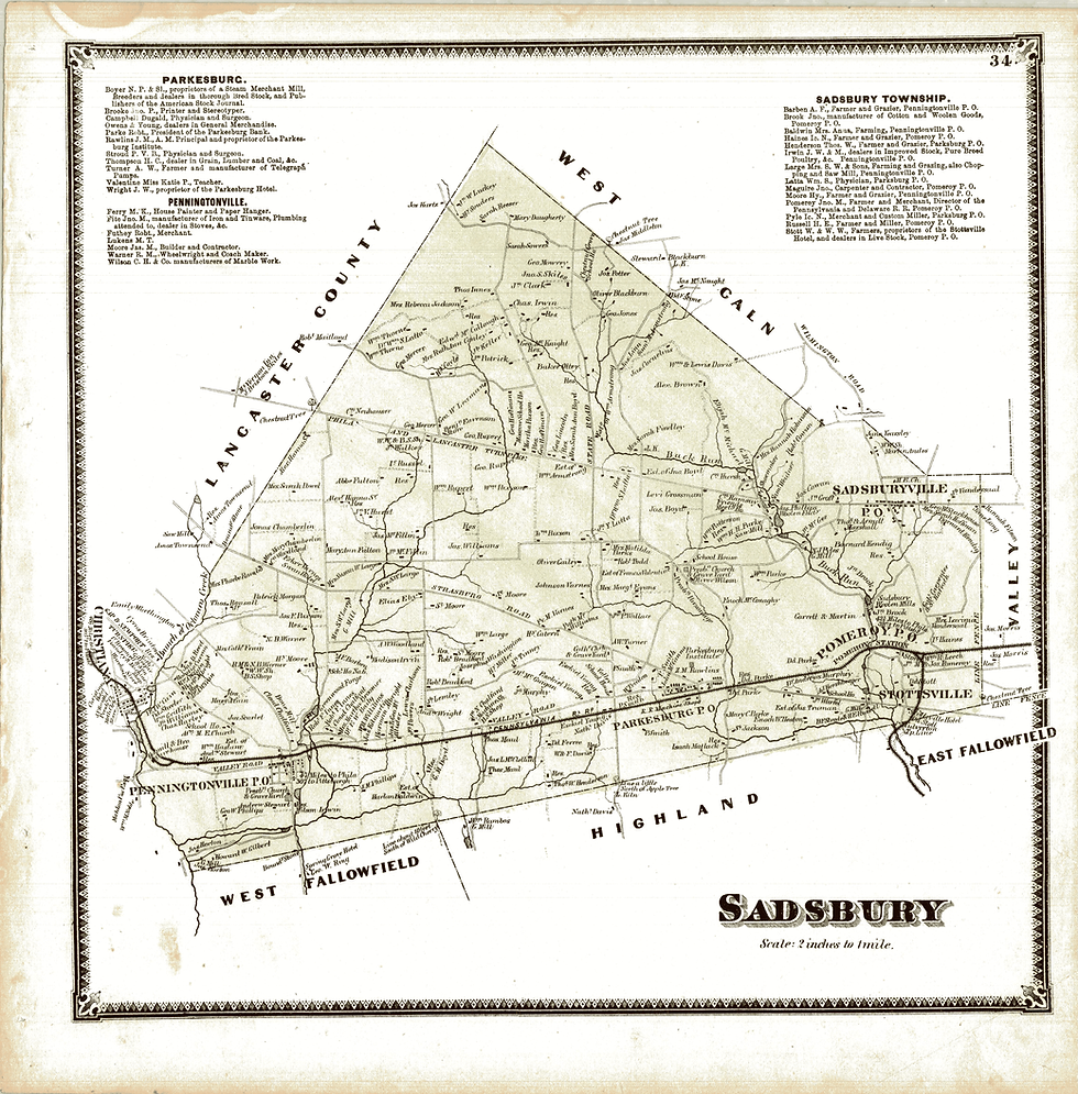
1873 map shows detail of Sadsbury Township before it was divided into Sadsbury Township and West Sadsbury Township in 1878. It shows landowners, businesses, and physical landmarks (“line about 10 feet South of Wild Cherry”, “Chestnut Tree”, “Line a little North of Apple Tree”):
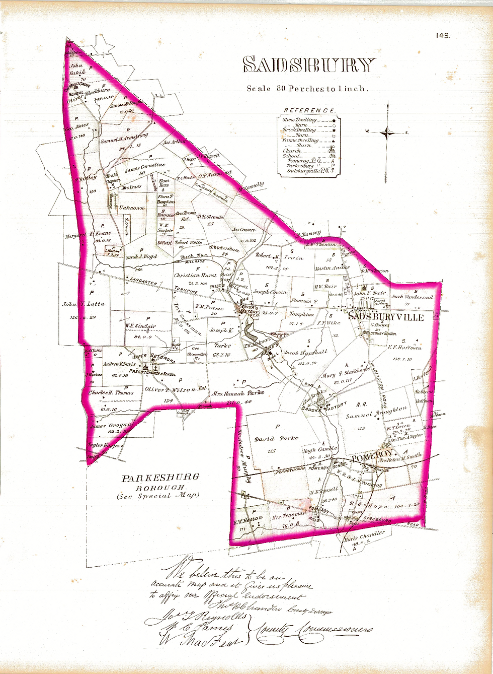
This 1883 map is from the Breou’s Farm Atlas, an official series of farm maps of Chester County which was compiled, drawn and published from personal examinations and surveys by W.H. Kirk & Co.:
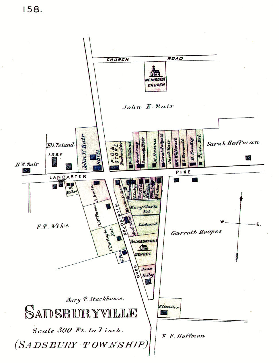
1883 map of Sadsburyville:
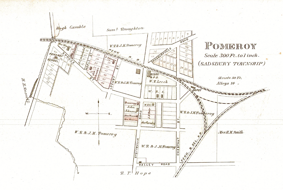
1883 map of Pomeroy: